
Explore Our Services
Explore our range of services designed to help you move forward with site capture and spatial design for better planning and project visualization.
What We Offer
We offer a range of services to meet the needs of every client. Have something else in mind? We'd be happy to work with you to create a custom product.
-
Drone-based LiDAR data collection using advanced UAV platforms. This service focuses on capturing high-density point cloud data across varied terrain and vegetation conditions to support mapping, planning, and analysis needs. This is processed into clean, classified point clouds. Deliverables are organized and quality-checked to support downstream analysis, visualization, and integration into GIS and CAD workflows.
-
Interactive, web-based hosting of LiDAR point clouds that allows users to explore terrain and features without specialized software. Ideal for collaboration, review, and stakeholder communication.
-
Preparation of LiDAR-derived datasets for direct use in GIS and CAD environments. This includes standardized projections, formats, and organization to ensure compatibility with professional geospatial workflows.
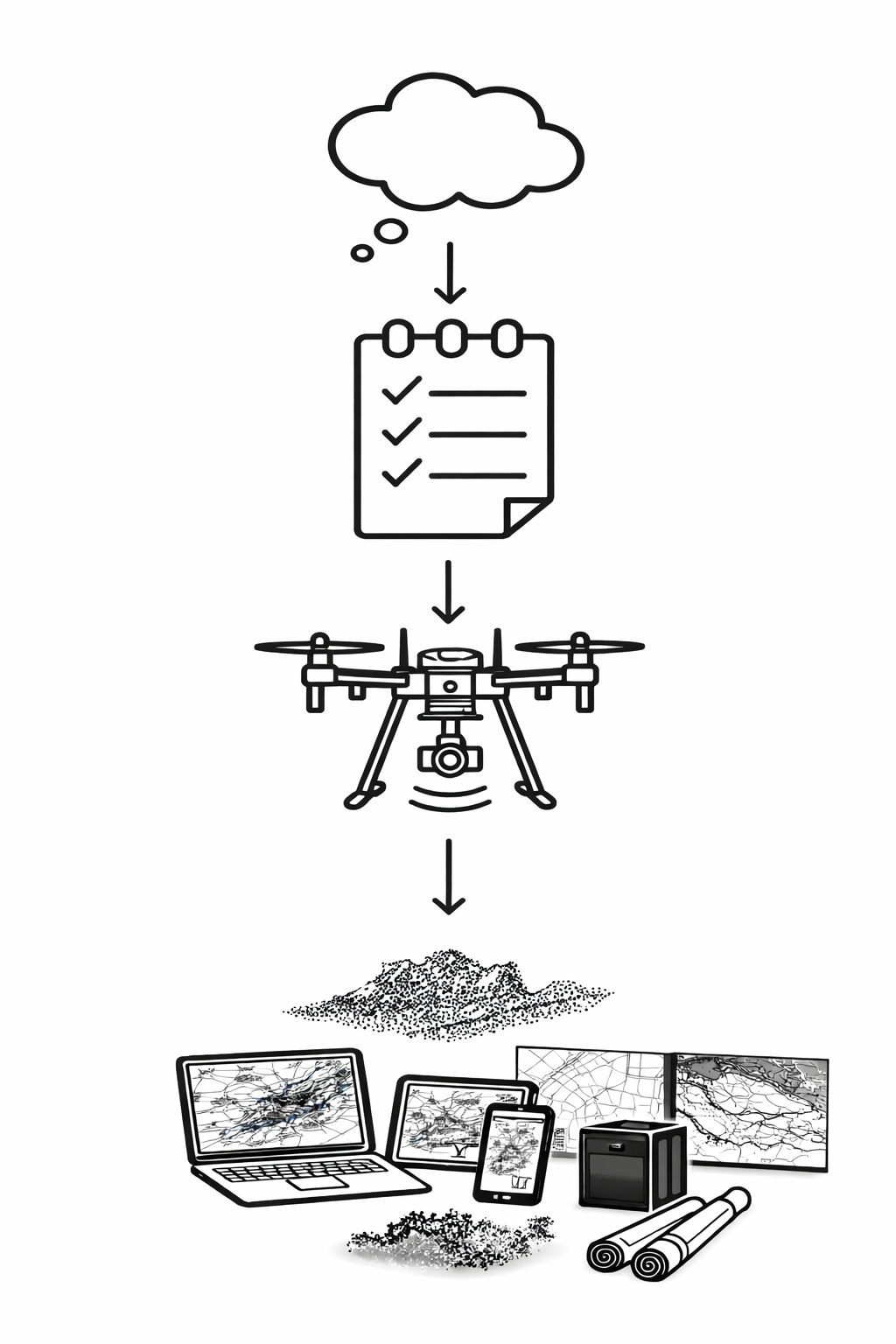
Our Process

Define Goals
We start by understanding your project goals, site conditions, and how the data will be used. This ensures the scope, deliverables, and level of detail are aligned with real decision-making needs from the outset.
Data Capture Plan
Each project is planned with intention, including flight parameters, coverage, point density, and safety considerations. This step ensures efficient data collection and minimizes uncertainty before fieldwork begins.
Capture/Processing
We collect UAV LiDAR data and apply professional processing workflows to produce clean, well-aligned datasets. Quality control is performed throughout to ensure consistency, completeness, and usability.
Data Delivery
Final deliverables are formatted for direct use in GIS and CAD environments and explained clearly so you can apply them with confidence. The focus is on practical, decision-ready data—not just raw outputs